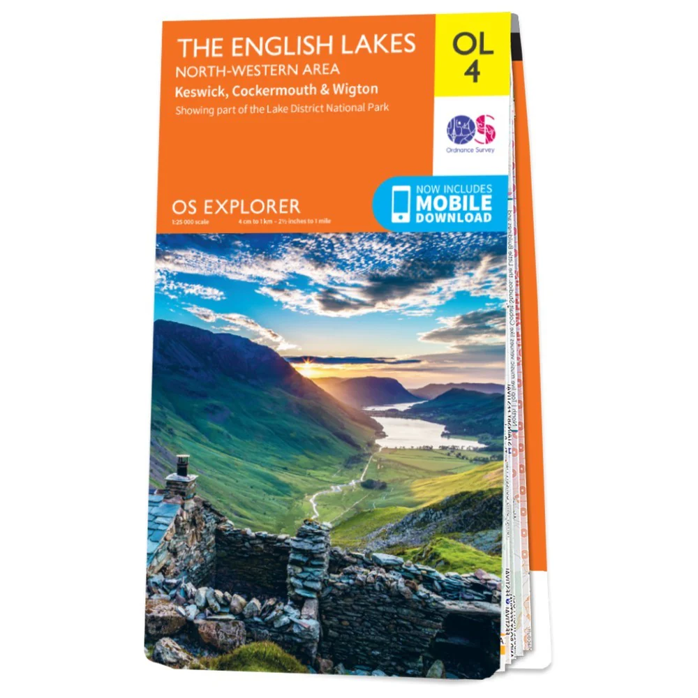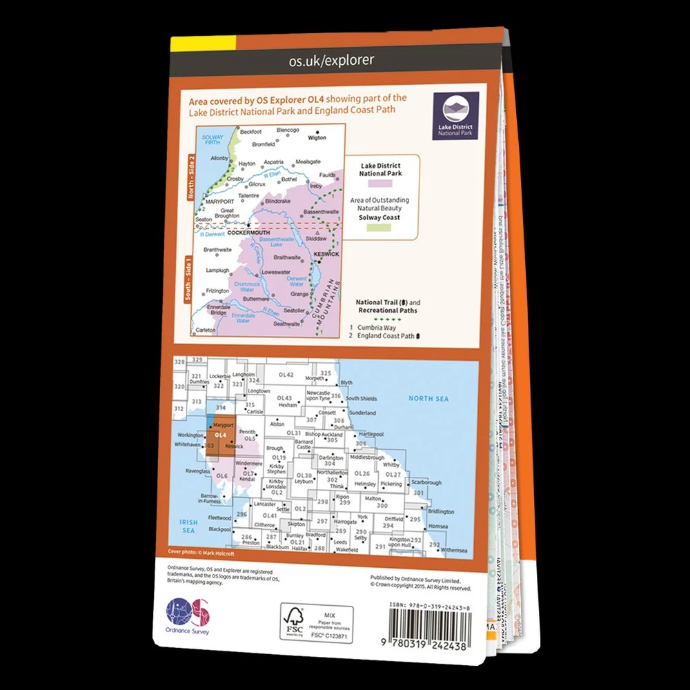
Ultramap XT40 Map: Lake District West
Item Code: MA-280_2312
Covers a large area yet is handily compact. Pocket perfect!
Detailed map for runners and walkers of the western fells of the Lake District National Park at the magic scale of 1:40,000.
Scafell and the Langdale Pikes, and fells west of the Kendal-Keswick road.
Hard Knott and Wrynose Passes. Ennerdale, Wast Water and Coniston Water.
Includes 74 Wainwrights.
Includes Rights of Way
Use without a map case: tough and 100% waterproof
Opens directly to either side of the sheet
Original: $16.02
-65%$16.02
$5.61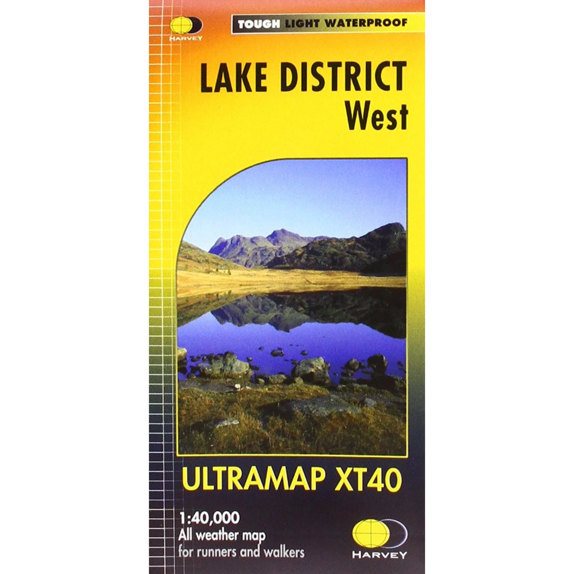
Description
Item Code: MA-280_2312
Covers a large area yet is handily compact. Pocket perfect!
Detailed map for runners and walkers of the western fells of the Lake District National Park at the magic scale of 1:40,000.
Scafell and the Langdale Pikes, and fells west of the Kendal-Keswick road.
Hard Knott and Wrynose Passes. Ennerdale, Wast Water and Coniston Water.
Includes 74 Wainwrights.
Includes Rights of Way
Use without a map case: tough and 100% waterproof
Opens directly to either side of the sheet